
- Survey-grade accuracy: approx. 4 cm vertical / 5 cm horizontal at 150 m (with proper workflow)
- High coverage: collect data from up to 2.5 km² in a single flight (mission-dependent)
- Long detection range: up to 450 m @ 50% reflectivity; 250 m @ 10% reflectivity
- Up to 5 returns for penetrating vegetation and capturing complex terrain
- Real-time point cloud LiveView for in-field QA and decision-making
- One-click processing in DJI Terra for streamlined post-processing
- Turnkey integration with DJI Matrice 300 RTK and Matrice 350 RTK
- Includes DJI Care Enterprise Basic with up to 2 low-cost replacements in 1 year
Compact, powerful, and IP54-rated, the Zenmuse L2 is built to handle demanding environments while reducing field time and simplifying your LiDAR workflow.

Key Features & Benefits
Increased Hardware Power & Efficiency
The Zenmuse L2 leverages advanced aerial LiDAR to deliver high-density 3D point clouds while significantly reducing on-site measurement time.
- Collects data from up to 2.5 km² in a single flight (scenario-dependent)
- High point cloud rate: up to 1,200,000 pts/s (multiple returns)
- Minimizes manual measurements and repeat site visits
- Ideal for land surveying, mapping, utilities, forestry, and infrastructure
Optimized for Matrice 300/350 RTK
Designed as a native payload for the DJI Matrice 300 RTK (with RC Plus) and Matrice 350 RTK, the L2 combines high-accuracy IMU data, RTK positioning, and LiDAR returns into a cohesive, tightly integrated system.
- Plug-and-play SkyPort mount for fast deployment
- Real-time RTK FIX support for survey-grade positioning
- Seamless control via DJI Pilot 2 on DJI RC Plus
Improved Detection Range & Safety
With an approximately 30% increase in detection range over the Zenmuse L1, the L2 captures more data from farther away, improving safety and efficiency.
- Detection range: up to 450 m @ 50% reflectivity (0 klx), 250 m @ 10% reflectivity (100 klx)
- Smaller laser spot size for more detailed returns
- Up to 5 returns for better performance in vegetated or complex environments
- Multiple scanning modes: repetitive and non-repetitive patterns
Enhanced Imaging & Reduced Operational Costs
The integrated 4/3" 20 MP RGB mapping camera improves colorization of the point cloud and allows for high-quality imaging even when LiDAR is not required.
- Upgraded RGB camera with improved imaging and color detail
- 4/3 CMOS sensor, approx. 20 MP, 24 mm equivalent lens
- Reduced photo intervals and extended shutter life
- Capture photos or video even without point cloud recording
Streamlined Software Workflow
Using DJI Pilot 2 and DJI Terra, the Zenmuse L2 offers an end-to-end, DJI-native LiDAR workflow.
- Point Cloud LiveView and real-time coloring by reflectivity, height, distance, or RGB
- Access real-time distance information and coverage status during flight
- Generate route and acquisition quality reports after missions
- One-click processing in DJI Terra for classification and model generation
LiDAR & System Specifications
System Performance
-
Detection Range:
450 m @ 50% reflectivity, 0 klx
250 m @ 10% reflectivity, 100 klx
Max detection: 500 m (ideal conditions) -
Point Cloud Rate:
Single return: up to 240,000 pts/s
Multiple returns: up to 1,200,000 pts/s -
System Accuracy (at 150 m, ideal conditions):
Horizontal: approx. 5 cm
Vertical: approx. 4 cm - Real-time point cloud coloring: Reflectivity, Height, Distance, RGB
LiDAR Module
- Ranging Accuracy (RMS 1σ): approx. 2 cm @ 150 m (80% reflectivity)
- Maximum Returns Supported: 5
- Scanning Modes: Repetitive & Non-repetitive patterns
-
FOV:
Repetitive: 70° (H) × 3° (V)
Non-repetitive: 70° (H) × 75° (V) - Minimum Detection Range: 3 m
- Laser Beam Divergence (FWHM): 0.2 mrad (H), 0.6 mrad (V)
- Laser Wavelength: 905 nm
- Laser Spot Size: ~4 cm (H) × 12 cm (V) @ 100 m
- Laser Pulse Emission Frequency: 240 kHz
- Laser Safety: Class 1 (IEC 60825-1:2014)
General & Environmental
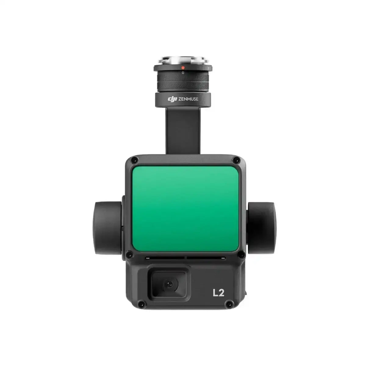
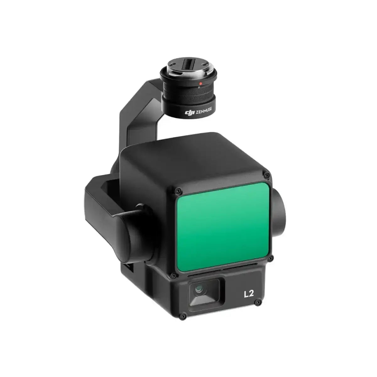
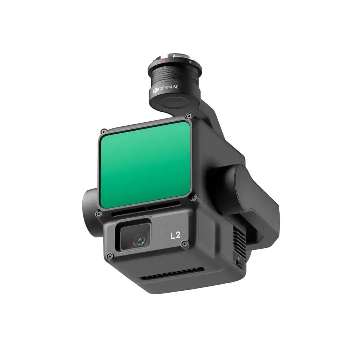
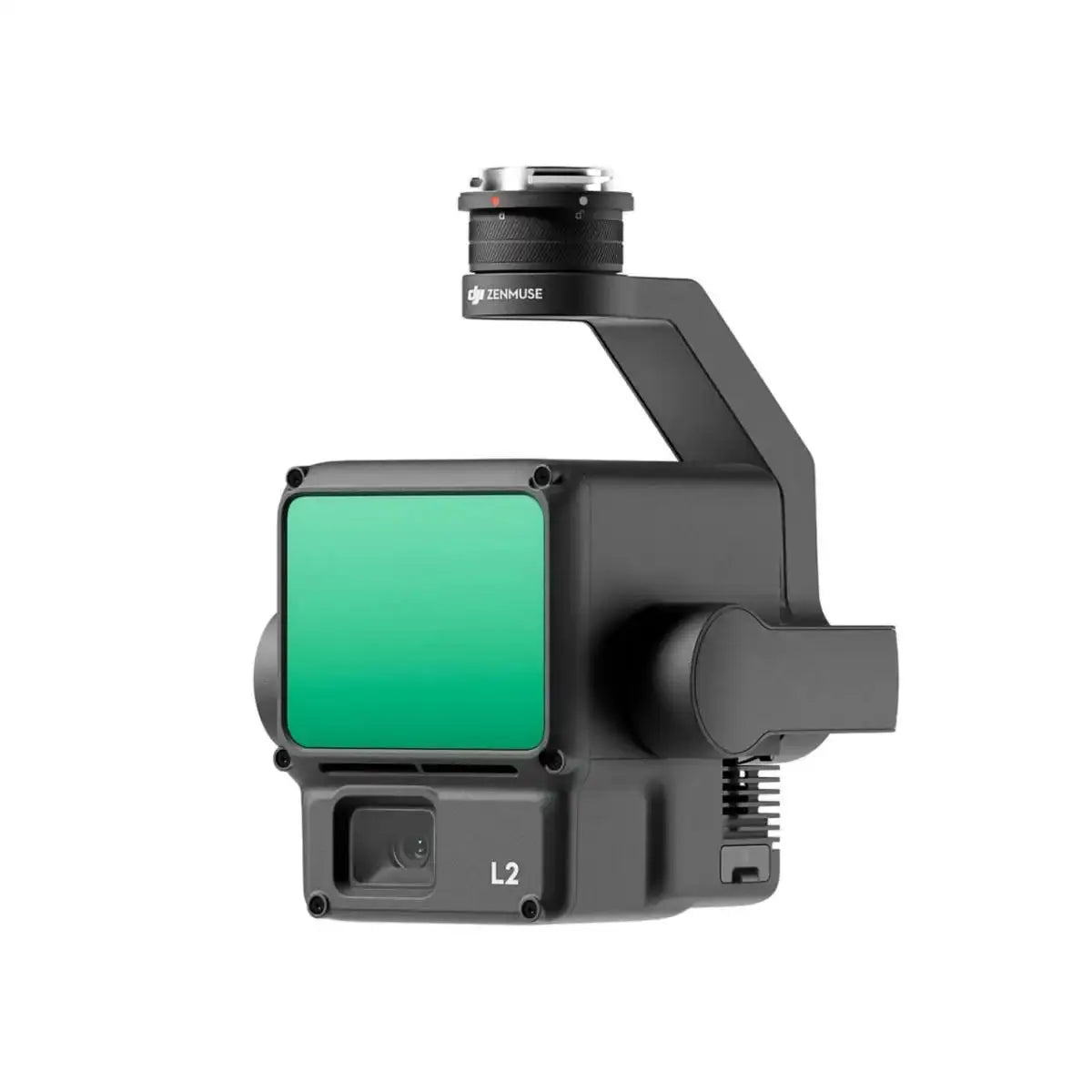
- Product Name: Zenmuse L2
- Dimensions: 155 × 128 × 176 mm (L × W × H)
- Weight: 905 ± 5 g
- Power Consumption: 28 W (typical), 58 W (max)
- IP Rating: IP54
- Supported Aircraft: Matrice 300 RTK (with DJI RC Plus), Matrice 350 RTK
- Storage Temperature: -20° to 60° C (-4° to 140° F)
RGB Camera, IMU, Gimbal & Workflow
RGB Mapping Camera
- Sensor: 4/3 CMOS, effective pixels: 20 MP
- Lens: 24 mm equivalent, FOV 84°, f/2.8–f/11, AF from 1 m to ∞
- Shutter: Mechanical 1/2000–2 s; Electronic 1/8000–2 s
- Photo Size: 5280 × 3956 (4:3)
- Still Modes: Single, Timed (multiple interval options), JPEG, RAW (DNG), JPEG+RAW
- Video: H.264 – 4K (3840×2160@30fps), FHD (1920×1080@30fps)
- ISO Range: 100–6400 (photo & video)
- Video Bitrate: 85 Mbps (4K), 30 Mbps (FHD)
- Formats: Photos: JPEG/DNG; Video: MP4 (MPEG-4 AVC/H.264); File system: exFAT
Inertial Navigation System (IMU)
- IMU Update Frequency: 200 Hz
- Accelerometer Range: ±6 g
- Gyro Range: ±300 dps
- Yaw Accuracy (RMS): Real-time: 0.2°; Post-processing: 0.05°
- Pitch/Roll Accuracy (RMS): Real-time: 0.05°; Post-processing: 0.025°
- RTK Positioning Accuracy: Horizontal: 1 cm + 1 ppm; Vertical: 1.5 cm + 1 ppm (FIX)
Gimbal
- Stabilization: 3-axis (tilt, roll, pan)
- Angular Vibration Range: approx. 0.01°
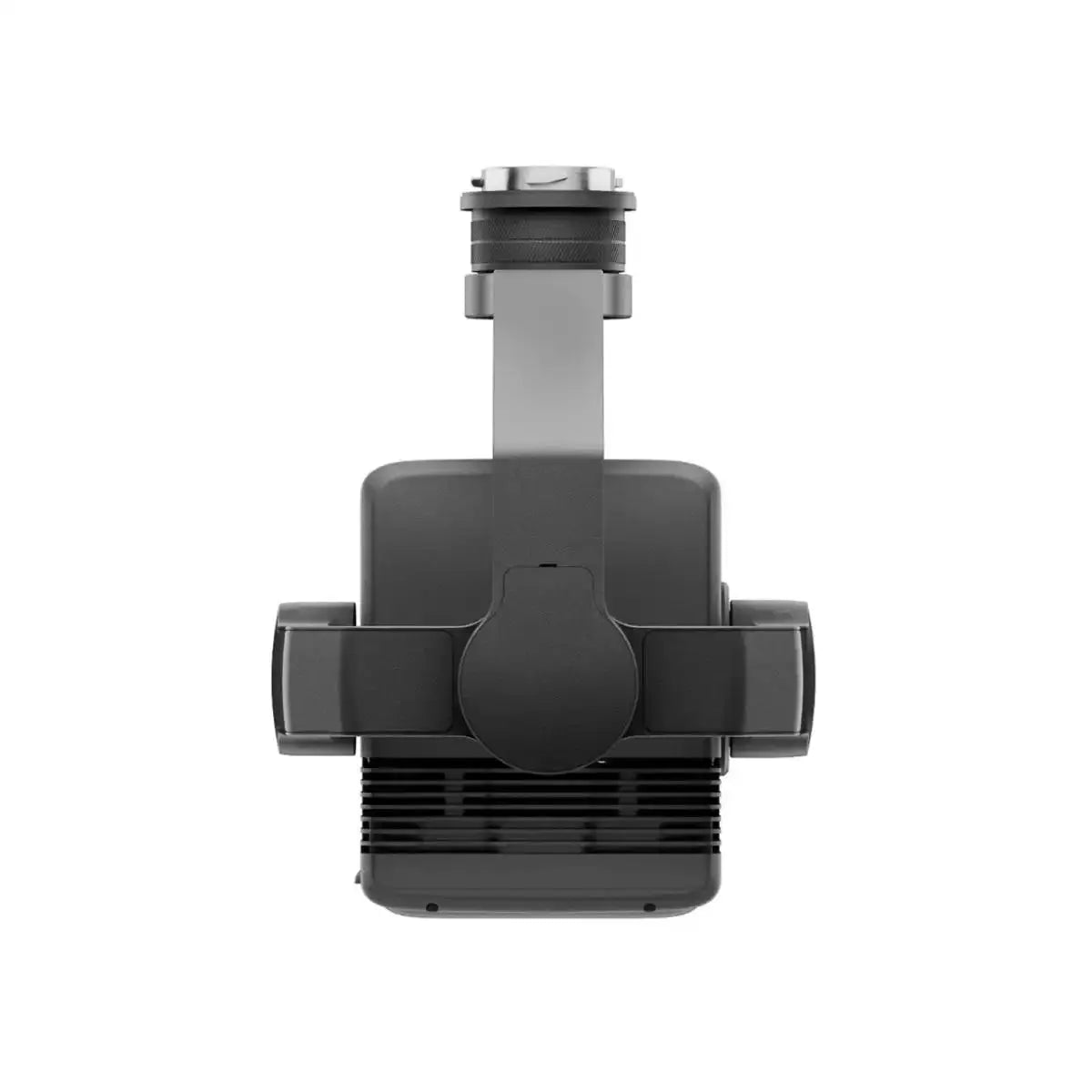
- Mounting: Detachable DJI SkyPort
- Mechanical Range: Tilt: -143° to +43°; Pan: ±105° (structural limits)
- Controllable Range: Tilt: -120° to +30°; Pan: ±90°
- Operation Modes: Follow, Free, Re-center
Data Storage & Post-processing
- Raw Data Stored: Photos, IMU, point cloud, GNSS, calibration files
- Real-time point cloud storage for in-field review
- microSD Support: up to 256 GB, UHS-I U3 / V30, ≥ 50 MB/s write
- Recommended Cards: Lexar 1066x (64/128/256 GB), Kingston Canvas Go! Plus 128 GB
- Post-processing Software: DJI Terra
- Export Formats (point cloud): PNTS, LAS, PLY, PCD, S3MB
DJI Care Enterprise Basic
- Includes 1 year of DJI Care Enterprise Basic coverage
- Up to 2 low-cost replacement units within the coverage period
- Covers water damage, crashes, and other accidental damage
- Includes DJI Care Express and free two-way shipping on covered claims
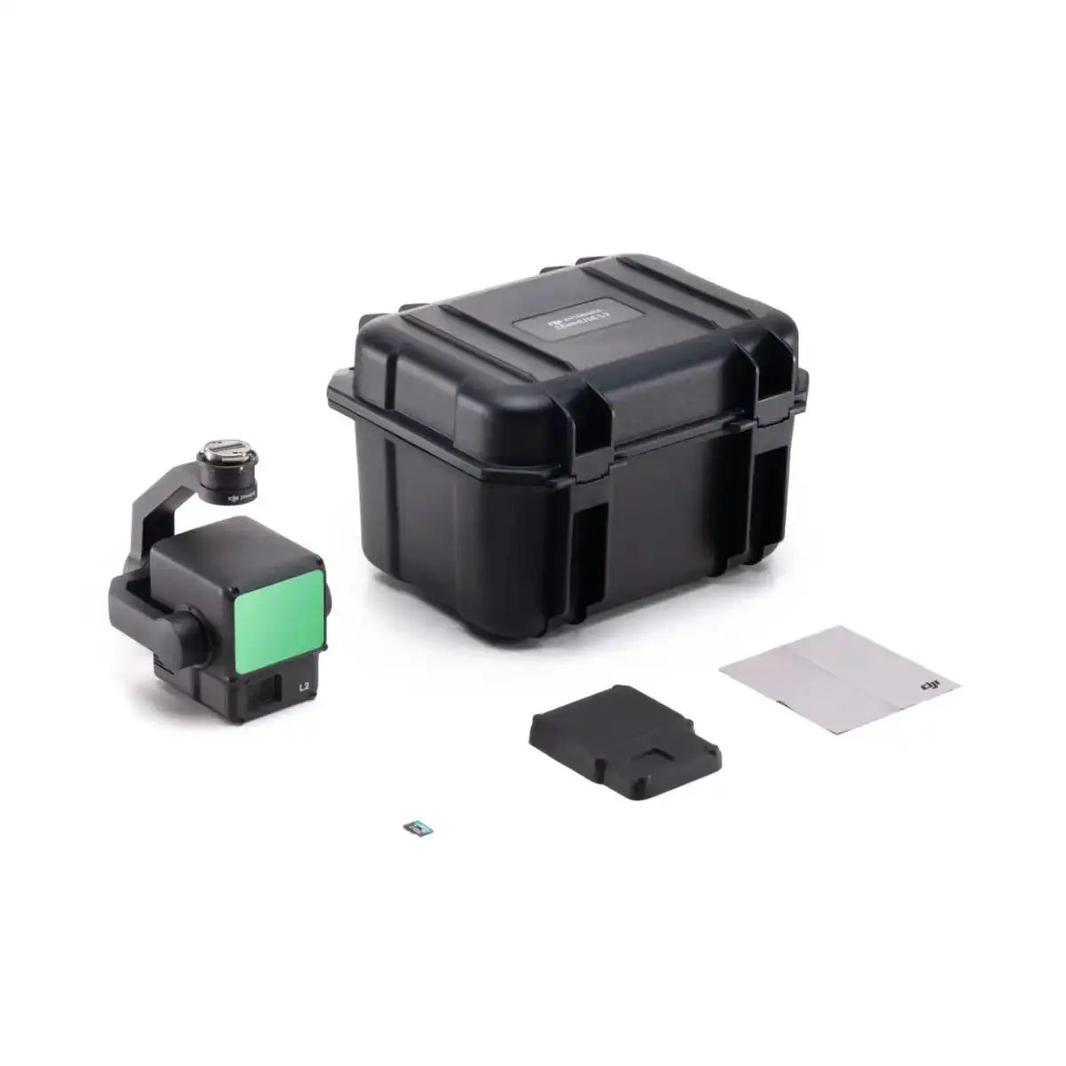
In The Box
- 1 × DJI Zenmuse L2 Payload
- 1 × 128 GB microSD Card
- 1 × Lens Cap
- 1 × Storage Case
- 1 × Lens Cleaning Cloth
- DJI Care Enterprise Basic (1-year coverage)